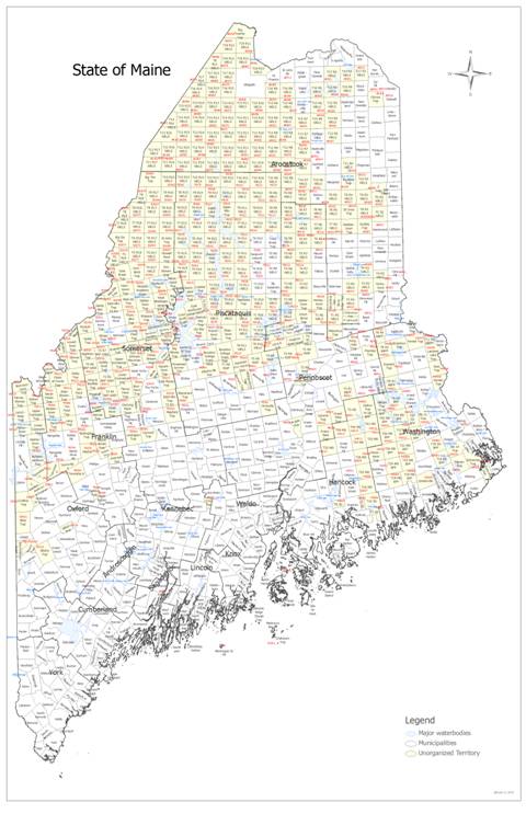
View larger version of map (.jpg)
If you are seeking a map of only your specific parcel and immediate abutters, you can view, download, or print a map of your parcel by visiting the Land Use Planning Commission's ("LUPC") Zoning and Parcel Viewer tool. To view your parcel, use the following steps:
- Click the magnifying glass in the upper right hand corner of the page; search for and select your township.
- Enter your township and Plan and Lot number of your parcel. If you do not know your Plan and Lot number, it can be found on your property tax bill, status inventory form, or property record card.
- Once you have selected your township, and Plan and Lot number, click the green 'Apply' button at the bottom of the search function to snap the view to your parcel.
- Use the printer icon on the upper right hand corner of the page to print or download the PDF file of your parcel.
Valuation information affiliated with parcels in the UT can be found here. To find information for a specific parcel, use the following steps:
- Select the valuation book for the county where your township is located.
- Once the PDF file for the appropriate county's valuation book has opened, you can search through it by pressing Ctrl + F on your keyboard. A search box will appear in the upper right corner. Enter your Township; Map, Plan, and Lot number; or a taxpayer's name to find the affiliated valuation information.
- Use the left and right arrows in the search box to cycle through results. It may be easier to search by Map number. If you have a specific township, but do not know the affiliated Map number, you can search it in the valuation book and get the map number from your results list.
- If you are searching for the valuation data for an entire township, you can download or print them by finding the appropriate township in the PDF file and selecting the 'Print' option. Specify a range of pages you would like to print or download.
For example, to print the valuation book for Madawaska Lake Township in Aroostook county, open the Aroostook County valuation book and then locate where valuation information for Madawaska Lake Township begins in the valuation book (Map AR020; see page 178). Then, locate where the valuation information for township ends in the valuation book (see page 227). Select the 'Print' and enter the pages in the valuation book that include Madawaska Lake Township's valuation information (pages 178 to 227). Select 'Print' or 'Download'.
To order 24" x 36" printed copies of the tax maps for a given township or valuation book, complete the map order form. To complete this form, use the following steps:
- To submit the form virtually, download and complete the form using the link above. Send the completed form to prop.tax@maine.gov.
- To submit the form via mail, print the form using the link above. Send the completed form to the following address:
Maine Revenue Services, Property Tax Division
PO Box 9106
Augusta, ME 04330.
Once received, our Division will reach out to you and provide you with a link via email to pay for the map, or take your payment via the phone. You can pay for the map orders with a debt or credit card, or direct bank transfer (ACH).
Township Codes
| Code | Township |
|---|---|
| ED | Eastern Division |
| MD | Middle Division |
| ND | Northern Division |
| SD | Southern Division |
| TS | Titcomb Survey |
| BKP | Bingham's Kennebec Purchase |
| BPP | Bingham's Penobscot Purchase |
| EKR | East of the Kennebec River |
| NWP | North of Waldo Patent |
| PLT | Plantation |
| TWP | Township |
| WKR | West of the Kennebec River |
| NBKP | North of Bingham's Kennebec Purchase |
| NBPP | North of Bingham's Penobscot Purchase |
| WBKP | West of Bingham's Kennebec Purchase |
| WELS | West of the Easterly Line of the State |